LandSentry
Getting things ready...
LandSentry
Getting things ready...

Construction Services · progress documentation
Independent aerial progress documentation, dated maps, and milestone comparisons help owners, builders, and investors stay aligned when you cannot be on site every week.
Already evaluating land? Start with our LIFT™ intake before you break ground.
Why clients choose this service
See what changed
Repeat captures show earthwork, structure, and final finishes in sequence, not a single snapshot from site.
Document what was completed
Dated aerial photographs and maps create a visual record for owners, family abroad, and contractors.
Share one dated visual record
Independent, evidence-based documentation, we do not certify construction quality or represent your builder.
Stay close to a build while living overseas, milestones, earthwork, and structure progress in one visual record.
Support client updates and internal QA with orthomosaics and phase comparisons across the site.
Offer clients construction documentation alongside LIFT™ diligence, one intelligence partner from land to build-out.
Track spend and progress with dated aerial context when you cannot visit every month.
Tell us your location and build stage
Share parish, acreage, stage, and who needs updates.
Agree on a schedule and quote
We propose capture dates, deliverables, and a fixed quote before work begins.
We document progress
Drone and aerial capture aligned to weather, permissions, access, and safety requirements.
Receive maps and a concise summary
Annotated imagery, orthomosaics, comparisons, and issues to investigate, not engineering certification.
Scheduled captures build a visual timeline, milestones, earthwork, structure, and final finishes.
High-resolution stitched aerial views for layout, change detection, and planning.
Immersive site models for phase reviews, not a continuously updated “digital twin” unless scoped separately.
Compare dates so progress is visible in sequence when georeferencing allows consistent overlays.
Concise narrative of what changed between captures for stakeholders abroad.
Bird’s-eye context to discuss layout, drainage, or access with your contractor, without quality certification.
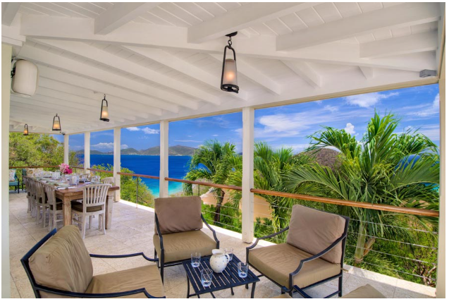
Land to build-out
Many clients commission a LIFT™ report before they buy, then engage Construction Services once foundations or framing begin. Same independent team, different chapter of the project, so maps and risk context stay consistent.
Request documentation →Screen location, terrain, and hazards before you commit capital, then add construction documentation when your timeline moves to active development.
Check My Property →Scope, cadence, deliverables, and how this fits with LIFT™.
Still unsure?
Talk to us about scope, cadence, or how this fits with LIFT™.
Tell us about your project. We acknowledge inquiries within one business day. Quotes and scoping timelines vary by service.
Project files are used only to scope and deliver your documentation. We retain submissions per our Privacy Policy unless you request deletion.